2.6 miles
Groundwork Jacksonville
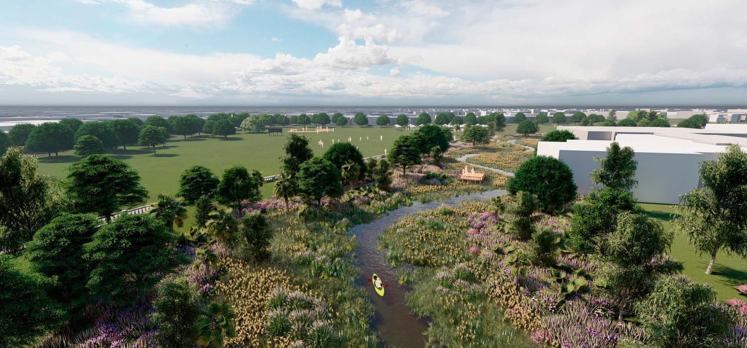
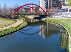
Hogans Creek is a 2.6-mile urban creek that runs through historic areas of downtown Jacksonville. Project goals include:
- Flood risk reduction
- Water quality improvement
- Creation of safe creek access and recreational opportunities
Project work includes coordination with a multidisciplinary team of technical experts and a comprehensive outreach effort to address large-scale modifications to the creek and corridor. As part of the design process, the team collected information related to parcel ownership and parcel contamination; Lidar and surveys of cross-sections, visible utilities, trees and wetlands; underground utility information; hydrology and hydraulic (H&H) data; historic creek and cultural features; transportation; and trail and park master plans.
Halff engineers created an advanced 2D HEC-RAS hydraulic model that applies the City’s Master stormwater management plan SWMM flows and the effects of tides. The modeling, which simulated flows for the years 2040 and 2070, as well as the effects of sea-level rise, showed maximum flood benefits of 3 feet for the preferred alternative. The 30% design includes removal of constrictions, creek stabilization and coordination with a geomorphologist (team sub-consultant) to realign the creek to a more natural state.
The design trail master plan includes the layout of the Hogans Creek trail, creek crossings, access points, park programming and visualization. The design process included extensive outreach and coordination with public and private entities, resulting in an iterative design process that reflects the input and needs of stakeholders. Once complete, the restored creek will become part of the Emerald Trail, a 30-mile system of trails and linear parks that connect neighborhoods and green spaces in the heart of Jacksonville.
Halff Services
Involved
- Watershed Plans & Studies
- Resilience
Let’s Connect
Ready to work with Halff? Simply fill out the form to be directed to the best person at Halff to discuss your interests.


